GIS Mapping and 3-D Visualization
The use of technology for communication and information is critical to providing clear and meaningful evaluations of data. Our data management and data visualization projects are overseen by Mr. Rene Perez. Mr. Perez has over fourteen years of experience specializing in geologic, groundwater, contaminant transport, hydrometeorologic, aerial photo interpretation and hydrogeologic investigations/modeling including three dimensional visualization of complex data. His scientific background and experience are utilized in our consulting and litigation services to better serve the clients understanding of the nature of a problem and the methods of solving the problem. Mr. Perez is a licensed professional geologist and this knowledge enables him to create logical links between the database information and the final presentation without input from the "project manager" as may be required by other GIS personnel without a similar scientific background.
Earth Forensics GIS (Geographic Information Systems) experts employ GIS technology to collect, manage, integrate, and analyze large amounts of varied and complex data used by clients as a critical decision making tool for a variety of needs.
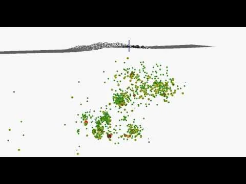
GIS and Groundwater Contamination
- Detection and mapping of contaminated sites
- Groundwater modeling
- 3D visualization of contamination levels
- Fate and transport of contaminants of concern
- Analysis of spatial dispersal patterns
- Simulation modeling to predict exposure levels
- Mapping of complex plume and dispersal patterns
- Human health risk assessments
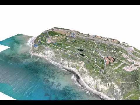
GIS for
City Planning &
Land Development
- Three-dimensional data models of cities
- Natural hazard assessment
- Mitigation
- Power, water, and sewer distribution
- Land use planning
- Analysis and calculation of excavation/basin volumes
- Surface and subsurface water resource analysis
- Geological & hydrological assessments
- Groundwater flow modeling
- Utility placement
- Topographic evaluation
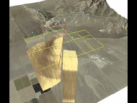
GIS for Mining, Oil, & Natural Gas
- Geologic analysis
- Field production measurements
- Three-dimensional visualization of oil & gas fields
- Location of hidden mines
- Subsidence
- Drilling and fracking operations
- Water management
- Locating surface & mineral rights
Landsat Images


3-D Animations