Mapping with Drones
/Did you know EARTH FORENSICS uses Unmanned Aerial Vehicles (UAV) to acquire high resolution data?
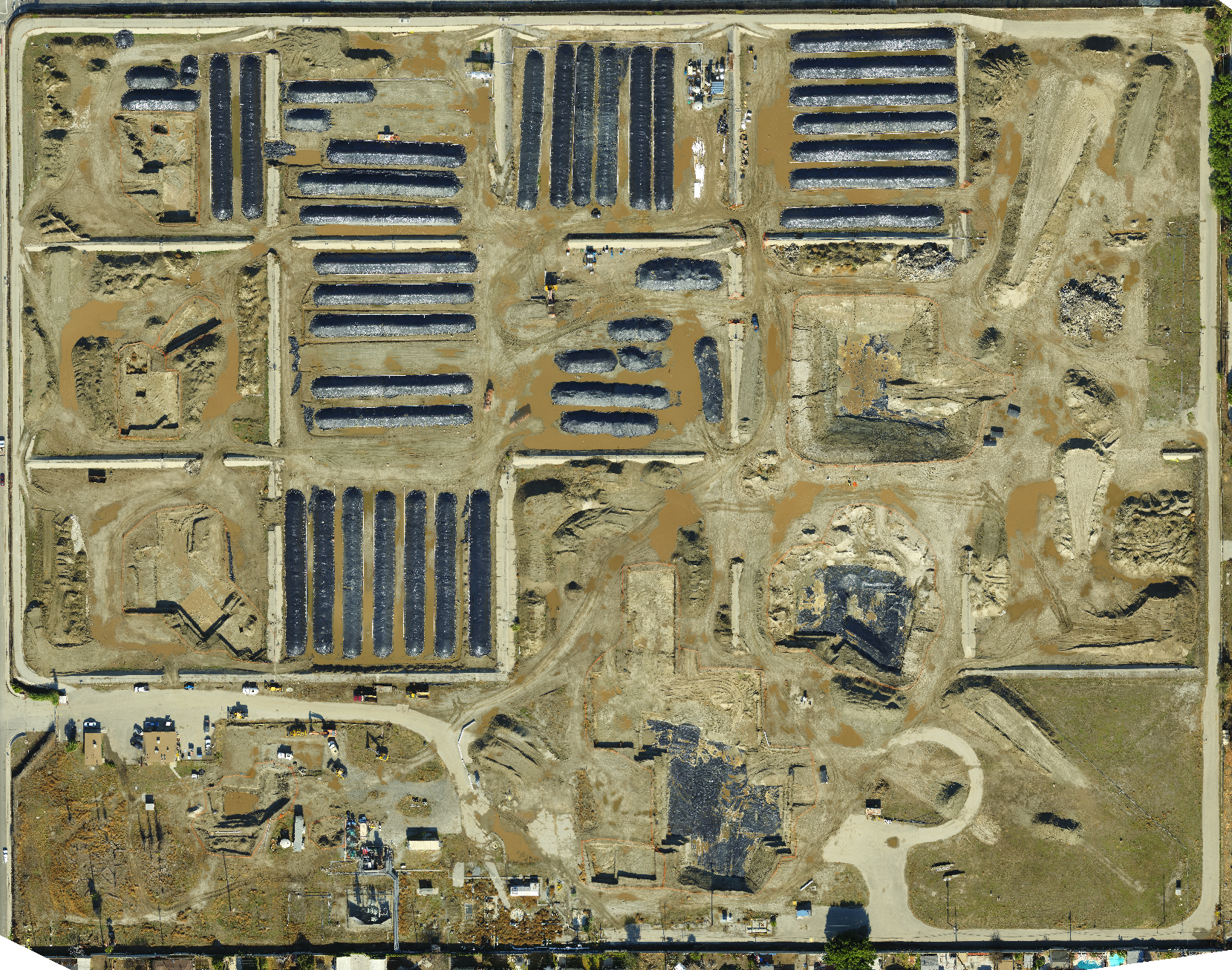
Earth Forensics uses drones to obtain high resolution low altitude aerial and thermal infrared photography. The aerial images are used to produce accurate high-resolution topographic maps and 3D photorealistic models. UAVs allow for the acquisition of data in remote or hazardous areas that are difficult to reach. This expedites the data acquisition needed for a particular project. Most recent, Earth Forensics has used drones to create maps to help monitor changes over time at a certain site. Here are some examples of current projects using UAV applications:
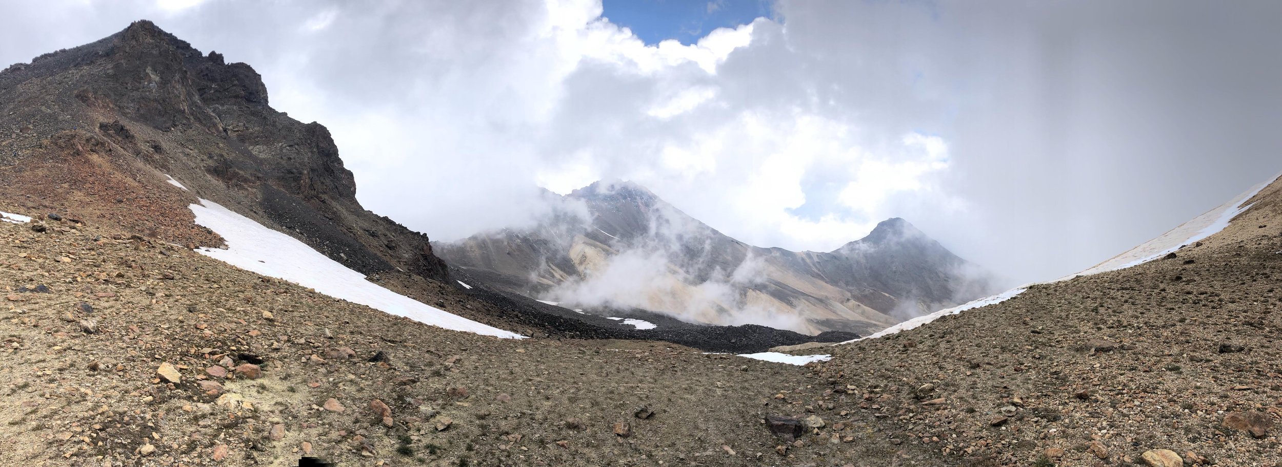
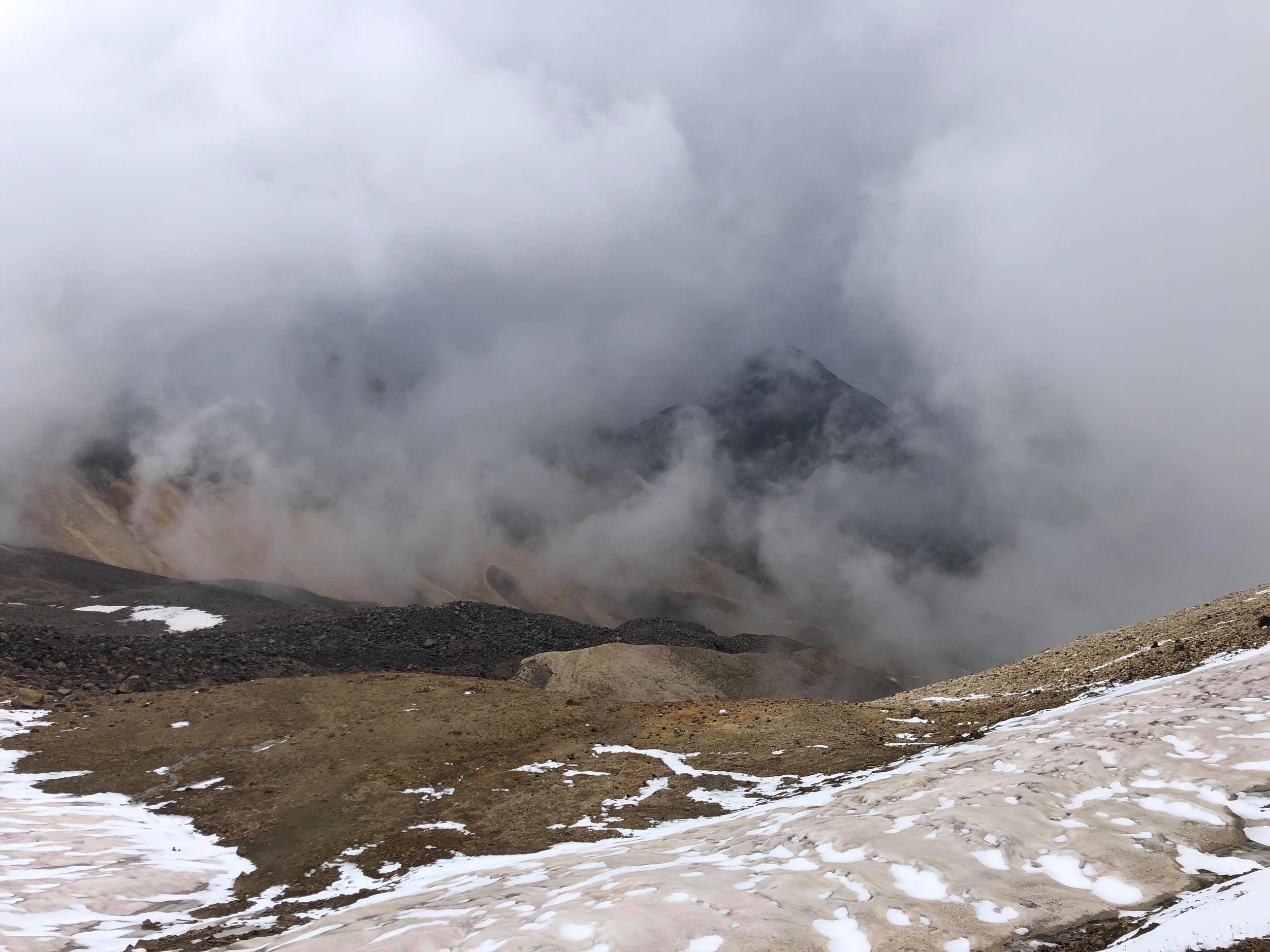
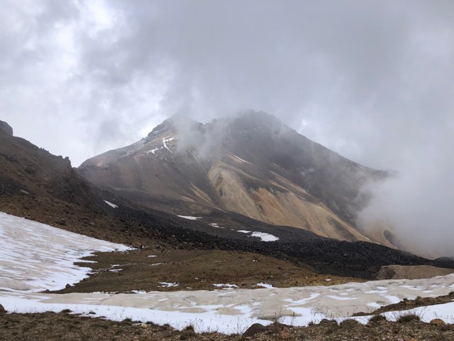
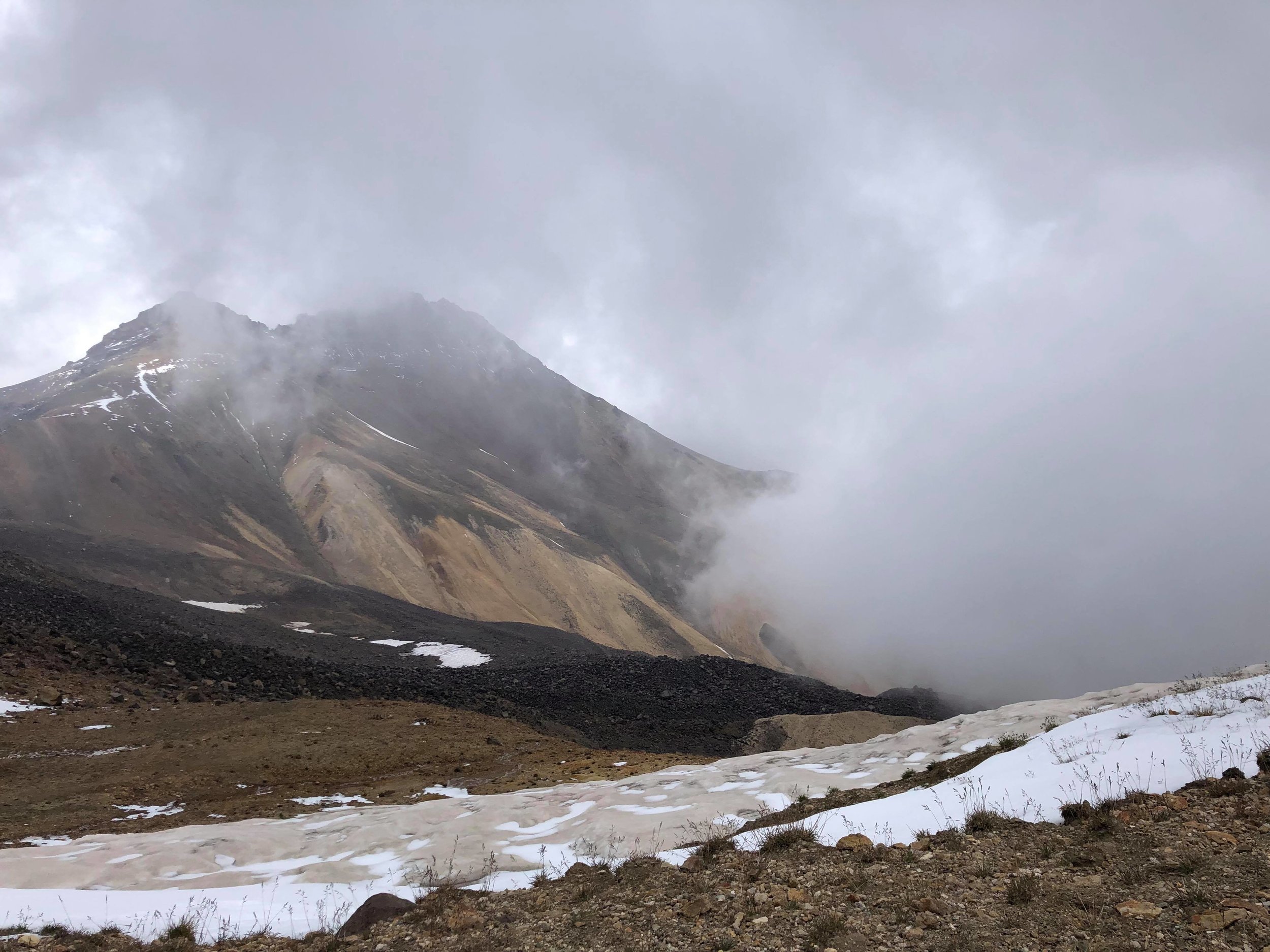
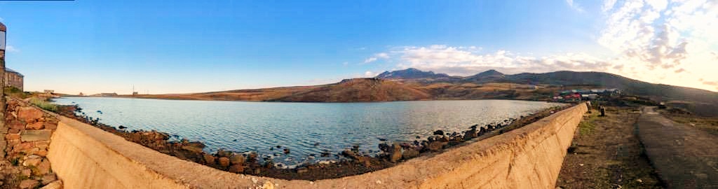
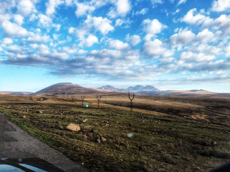
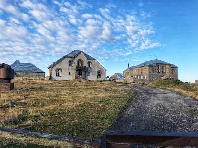
- Mount Aragats (Armenia)- High-resolution topographic mapping of potential archeological investigation
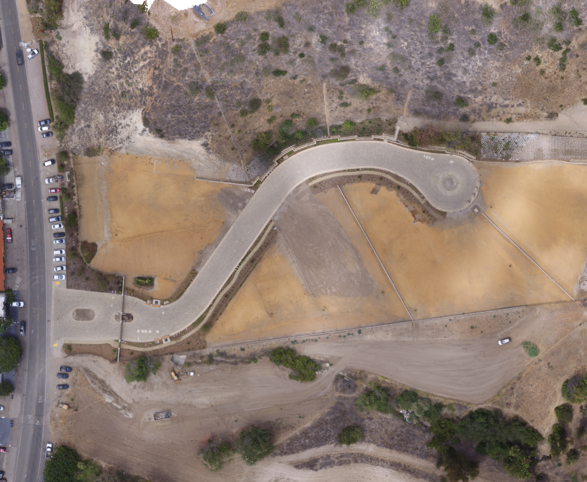
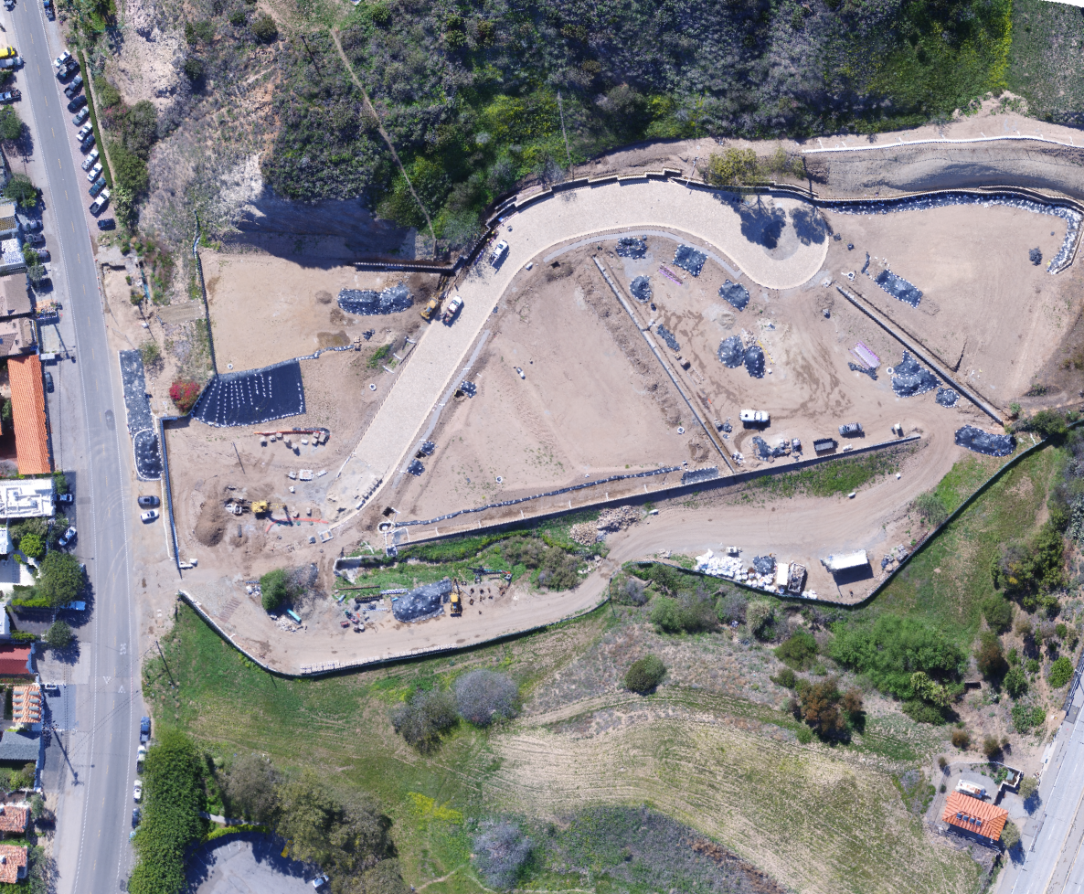
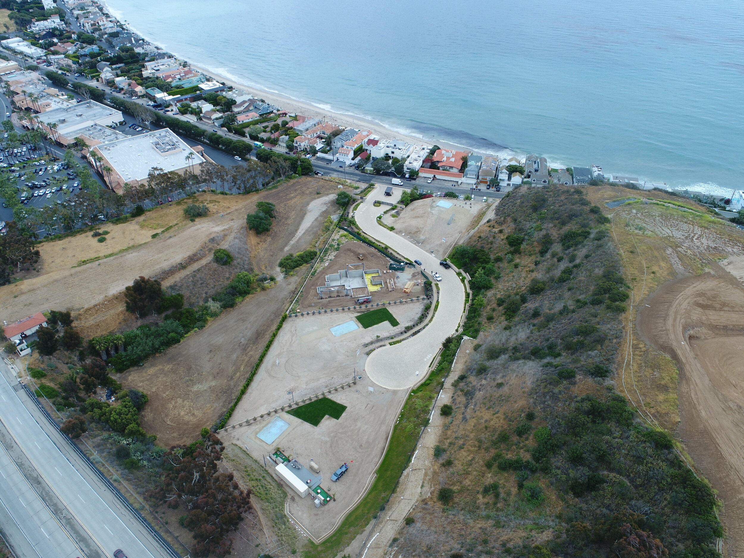
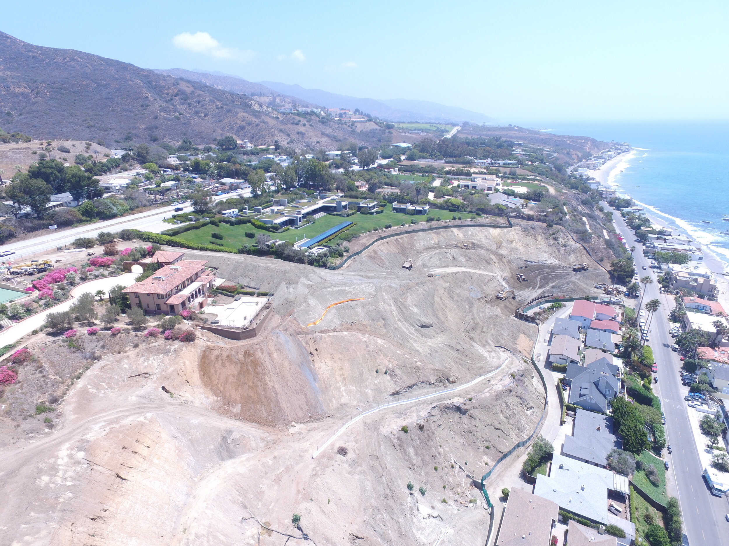
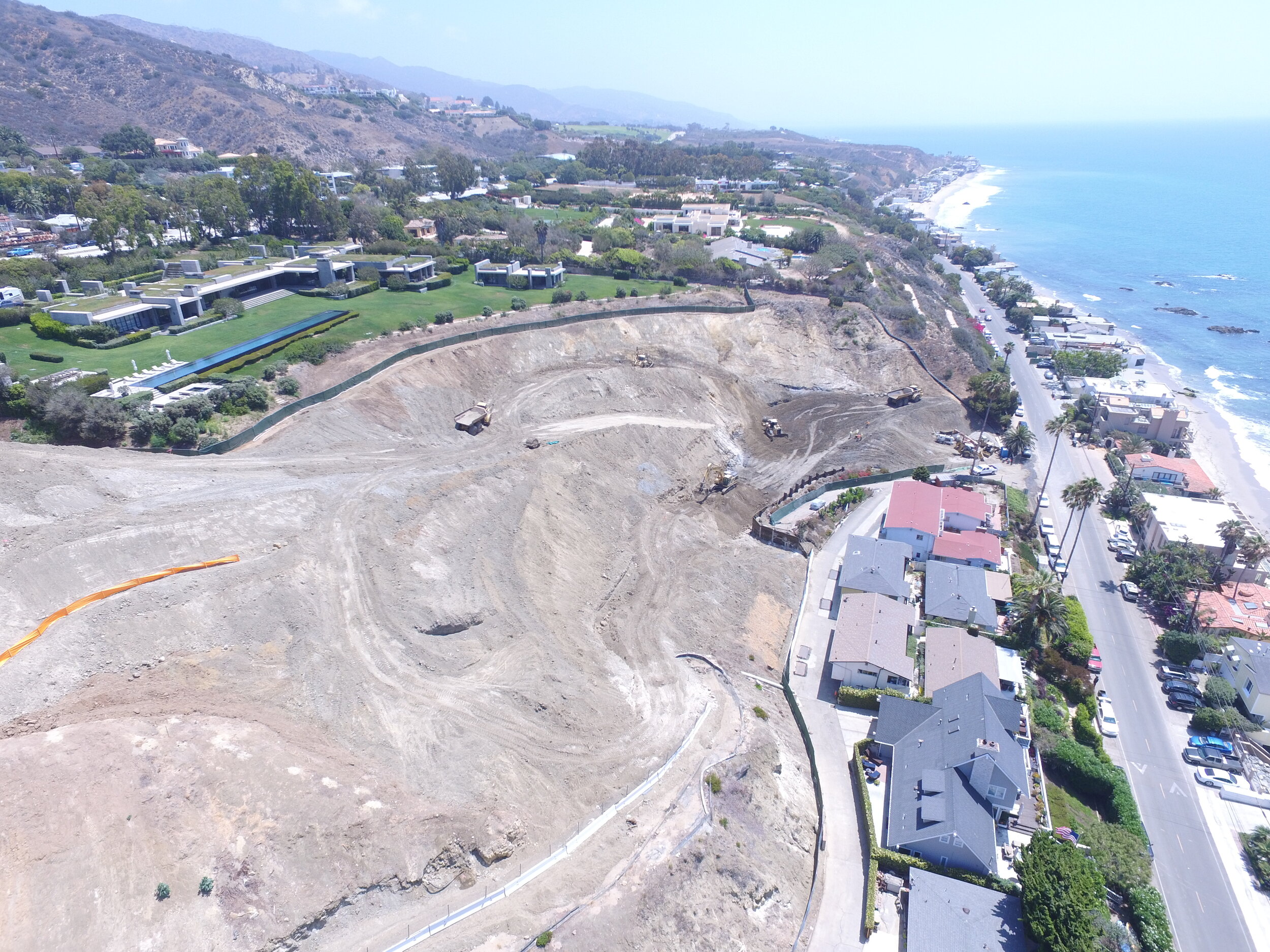
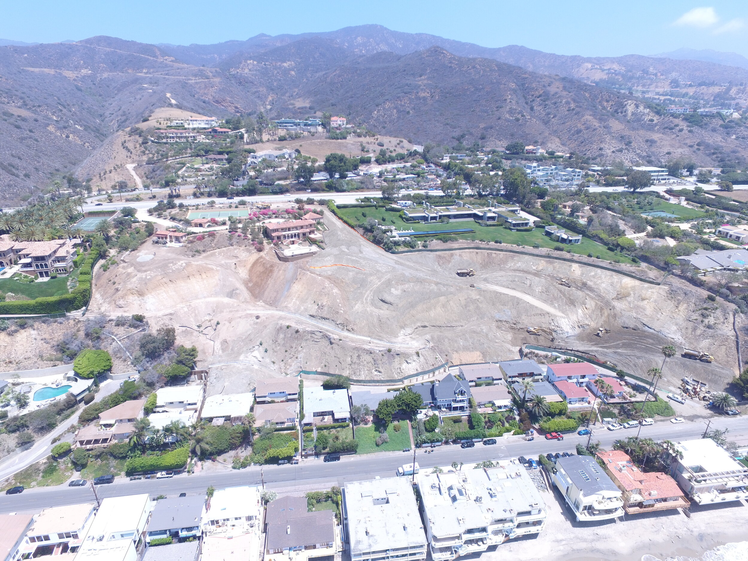
- Malibu, CA: Progress monitoring of a residential development site in Malibu, CA.
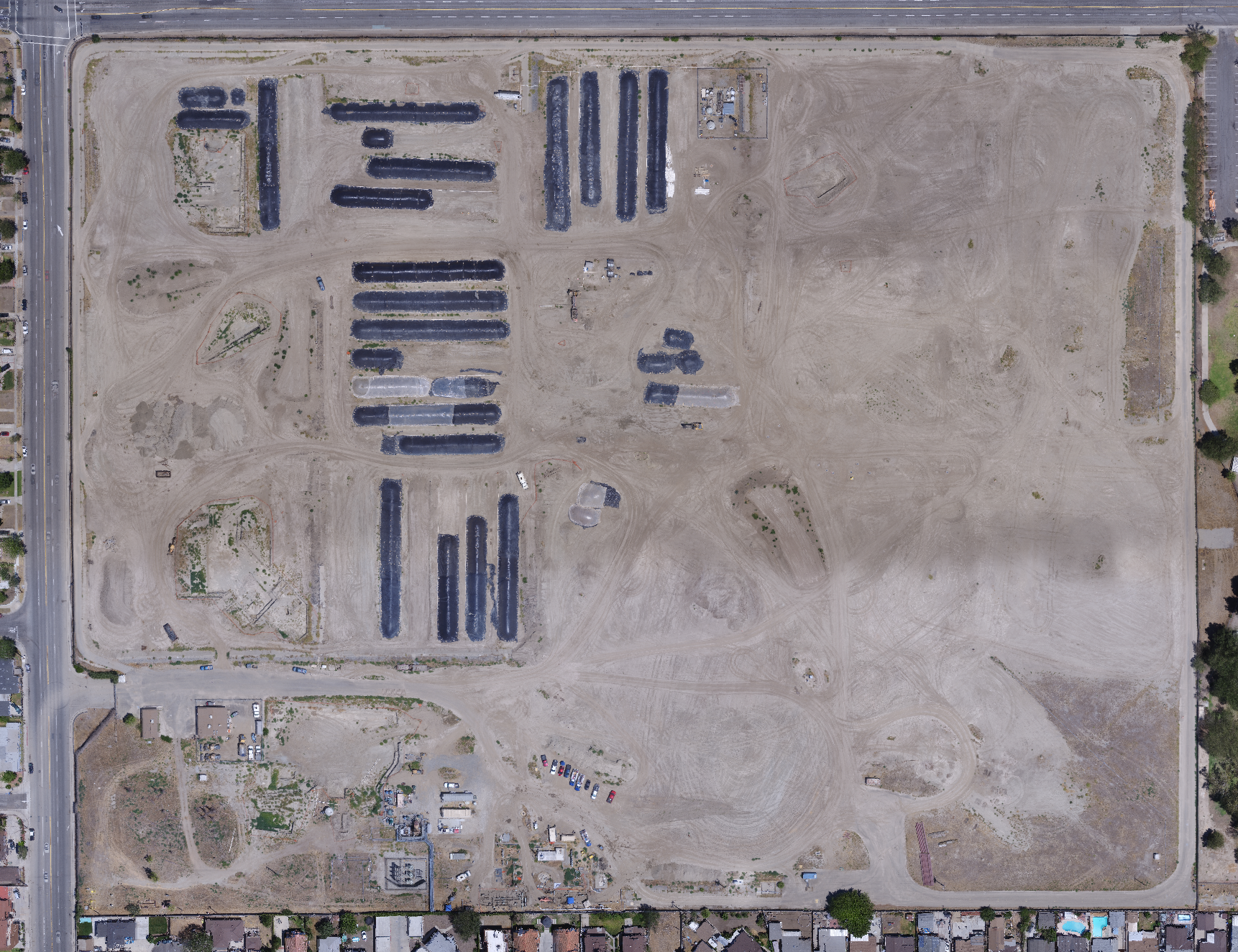
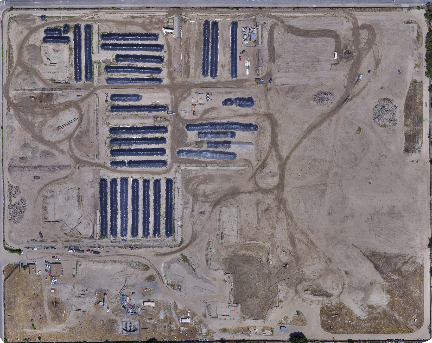
- Norwalk, CA: Monitoring of environmental excavations and stockpiles.
- Malibu, CA: Progress monitoring of a landslide repair.
- Interstate-5 (I-5): Documentation of environmental excavations along the I-5.
- Terminal Island, CA: Monitoring of environmental excavations.
Earth Forensics uses the high resolution images to show:
· Landslides and slope stability documentation
· Commercial, industrial and residential site reconnaissance
· Environmental photography
· Detention basin monitoring
· Contamination
· Fault delineation and mapping
· Volumetric calculations
· 3D models
Visit aerialforensics.com to learn more about our UAV services or contact us for more information on how our team can help you with your project.
Phone: 714.296.4055
Email: contact@earthforensics.com